")


<
PERFORMANCE SPECIFICATIONS
Channels…………………………………………………. 1408/800+(optional)
GPS………………………………………… L1C/A,L1C,L2P(Y),L2C,L5
BeiDou…………………………………. B1l,B2l,B3l,B1C,B2a,B2b*
GLONASS……………………………………………………………………….. L1, L2
Galileo ………………………………………………………………. E1, E5A, E5B, E6
IRNSS…………………………………………………………………………………….. L5
SBAS……………………………… L1C/A,L5(QZSS,WAAS,MSAS,GAGAN)
QZSS………………………………………………………………. L1,L2,L5,L6*
Horizontal…………………………………………. 2.5 mm + 0.1 ppm RMS
Vertical……………………………………………… 3.5 mm + 0.4 ppm RMS
Horizontal…………………………………………. 2.5 mm + 0.5 ppm RMS
Vertical…………………………………………………. 5 mm + 0.5 ppm RMS
Horizontal……………………………………………………. 8mm+1ppm RMS Vertical 15mm+1ppm RMS
Initialization time… Typically 10 min for base and 5 min for rover
Initialization reliability…………………………………. Typically > 99.9%
Horizontal…………………………………………………… 25cm+1ppm RMS Vertical 50cm+1ppm RMS
SBAS………………………………………………………………………………….. 0.5m
Horizontal……………………………………………………. 8mm+1ppm RMS
Vertical……………………………………………………….. 15mm+1ppm RMS
Horizontal………………………………………………… 8mm+0.5ppm RMS
Vertical………………………………………………….. 15mm+0.5ppm RMS
Initialization time…………………………………………… Typically 2-10s
Initialization reliability………………………………. Typically>99.99%
Provides RTK measurements even during differential signal interruptions
Horizontal……………………………………. RTK+10mm / minute RMS
Vertical…………………………………………. RTK+20mm / minute RMS
Cold start…………………………………………………………………….. < 45 s
Hot start………………………………………………………………………. < 30 s
Signal re-acquisition……………………………………………………. < 2 s
Stakeout……………………………………………………………. Typically 2cm
Image Measurement……………………………………………. 2cm~4cm
Tilt Survey Performance
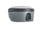
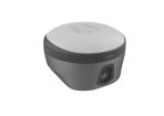
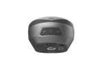
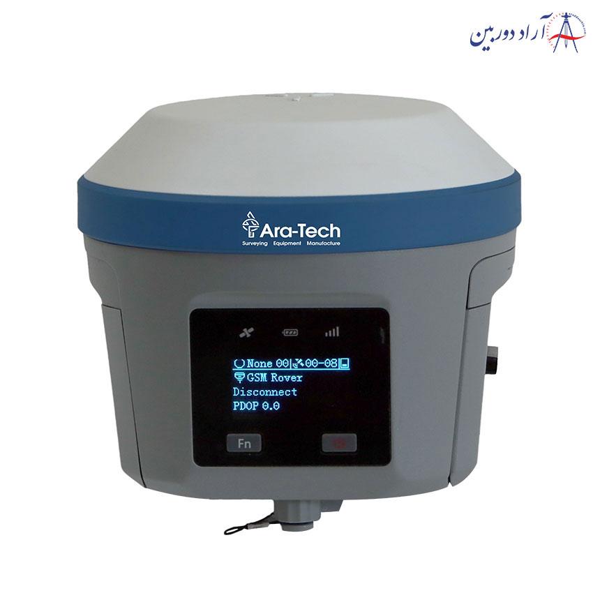
Dimensions (W x H)……………………………………………………………………………. 130mm×79mm
Weight………………………………………….. lighter than 0.97kg (2.14lb) within internal battery
Operation temperature…………………………………………. .. -40℃~+75℃(-40℉~+167℉)
Storage temperature……………………………………………… .. -55℃~+85℃(-67℉~+185℉)
Temperature control… Auto-adjust the working power to maintain the temperature
Humidity…………………………………………………………………………………. 100%, non-condensing
Water/dustproof………………. IP68 dustproof, protected from temporary immersion to
depth of 1.0m (3.28ft) Shock and vibration……………………………………………………………………….. MIL-STD-810G, 514.6
Anti-salt spray……………………………………………………………………. MIL-STD-810G, 509.4, 96h
Free fall…………………………………………………….. MIL-STD-810G, 516.6, designed to survive
a 2m(6.56ft) natural fall onto concrete
Charging:using standard smartphone chargers or external power banks (Support 5V 2.8A Type-C USB external charging)
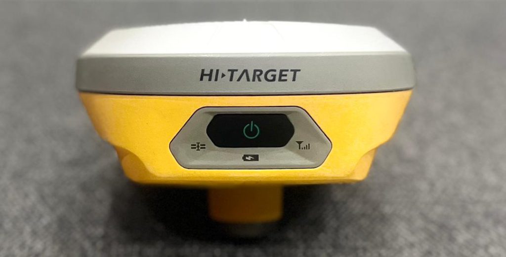
Physical button……………………………………………………………………………………………………………. 1
LED Lights………………………………………………….. Satellite lights, signal lights, power lights
Pixel…………………………………………………………………………………………………………… 2MP & 5MP
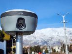
Support real scene stakeout, image measurement, working distance 2~15m
7.2V, 6900mAh Built-in lithium-ion battery.
RTK rover(UHF/Cellular) for 15 hours. Power indicator embedded.
Quick charge within 3.5 hours.
Bluetooth 4.0/2.1+ EDR, 2.4 GHz. USB type C interface; SMA interface; Nano SIM card slot
Near Field Communication(NFC)
Full band support for cellular mobile network(LTE, WCDMA, EDGE, GPRS, GSM). 2.4GHz Wi-Fi, supports the standard protocol 802.11 b/g/n. Network RTK(in CORS) range is 20-50km.
Frequency……………………………………………….. ……………………………………………….. 434~435MHz Transmitting power……………………………………………….. 0.5W / 1W / 2W
Supports protocols: HI-TARGET, TRIMTALK450S, TRIMMARK III, SATEL-3AS, TRANSEOT, etc.
Working Range………………………………………………………………………………………. Typically 3~5km, optimal 5~8km Channels………………………………………………………………………………………. ……………………………………………………………………………………… 116
can limit due to Telecomunity organizations of each country.
Data storage……………………………………………………………… Circulating 8GB Internal storage
Record GNS and RINEX format simultaneously
Additional horizontal pole-tilt uncertainty typically less than
8mm+0.7mm/°tilt(2.5cm accuracy in the inclination of 60°)
1Hz positioning output, up to 20Hz. RTCM2.X, RTCM3.X . Navigation outputs ASCII: NMEA-0183
[5]Accuracies are dependent on GNSS satellite availability. Hi-Fix Positioning ends after 5 minutes without differential data.Hi-Fix is not available in all regions, check with your local sales representative for more information.
Descriptions and Specifications are subject to change without notice

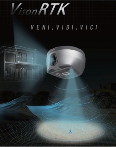
ویدیو معرفی گیرنده GNSS دارای دوربین فوتوگرامتری HiTarget مدل VRTK :
</div
No account yet?
Create an Account
نقد و بررسیها
Clear filtersهنوز بررسیای ثبت نشده است.